In conjunction with Foss Environmental Consulting, Wetland Surveys have developed a mapping project to show the location and provide a description of all wetlands in Ireland. The on-line Map of Irish Wetlands is free public resource, accessible to all.
The map shows the location and provides further information on all wetland sites in Ireland. On the Map of Irish Wetlands, sites (points) are the basic unit of coverage on the map, with some +13,200 wetland sites shown across the country. Wetland site boundaries are shown in selected counties where targeted wetland surveys have been undertaken or site boundaries exist. Voluntary development of the map is on-going. Read more…

Wetland Surveys Web Apps
Wetland Surveys have developed a number of interactive story maps to use via the browser on your smartphone, tablet or computer. Our story maps will help you learn more about wetlands, biodiversity and where to visit wetlands. Links to the story maps are provided below.
-
![]()
Wetlands to visit around Ireland
Would you like to learn more about Irish wetlands? The selection of wetlands shown here include coastal wetlands, fens and swamps, ponds and bogs. These sites have a variety of visitor facilities including parking, paths, boardwalks, exhibitions and information signs, that will help you enjoy a visit to these magical places, and learn more about wetlands and their value to wildlife. The map is based on a selection of sites shown on the Map of Irish Wetlands. Link to story map: http://arcg.is/2kWtYY8
-
![]()
Longford's Wetlands
This story map was produced by the Heritage Office in Longford County Council, to coincide with National Water Heritage Day in 2020. The online interactive story map ‘Longford's Wetlands - A story map about wetland habitats in County Longford' features information on the different types of wetlands that occur in the county and the location of these wetlands. It explains why wetlands are important, to our wildlife and our own health and the story map includes a wetlands to visit section. Link to map at: http://bit.ly/LongfordsWetlands
-
![]()
Leitrim’s Wetland Wealth
Leitrim’s Wetland Wealth story map showcases the wetland habitats of County Leitrim. The story map was produced by Mary Catherine Gallagher and Peter Foss and was funded by the Leitrim Heritage Office through the County Heritage Plan scheme. The story map features a range of information about the wetlands found in County Leitrim, their importance to our wildlife and the ecosystem services they provide us with. The story map includes a section on wetlands to visit in County Leitrim. Link to map at: bit.ly/LeitrimWetlands
-
![]()
Take the Monaghan Wetland Tour
The story map brings you on an informative tour of 23 wetlands around Monaghan where you can learn more about these fascinating habitats. These sites have a variety of visitor facilities including parking, paths, boardwalks, exhibitions and information signs, that will help you enjoy a visit to these magical places, and learn more about wetlands and their value to people and wildlife. The map is based on a selection of sites shown on the Map of Irish Wetlands.
The story map includes map location information, a brief summary of what you can discover at the sites, a summary of facilities at each location, and a link to further information, opening times and much more. Link to map: http://bit.ly/MonaghanWetlands
-
![]()
Wetlands in County Clare
The Wetlands in County Clare story map showcases the wetland habitats of County Clare. The story map was produced by Mary Catherine Gallagher and Peter Foss and was funded by the Clare Heritage Office. The story map features a range of information about the wetlands found in County Clare, their importance to our wildlife and the ecosystem services they provide us with. The story map includes a section on wetlands to visit in County Clare. Link to map at: bit.ly/ClareWetlands
-
![]()
Wetlands in County Sligo
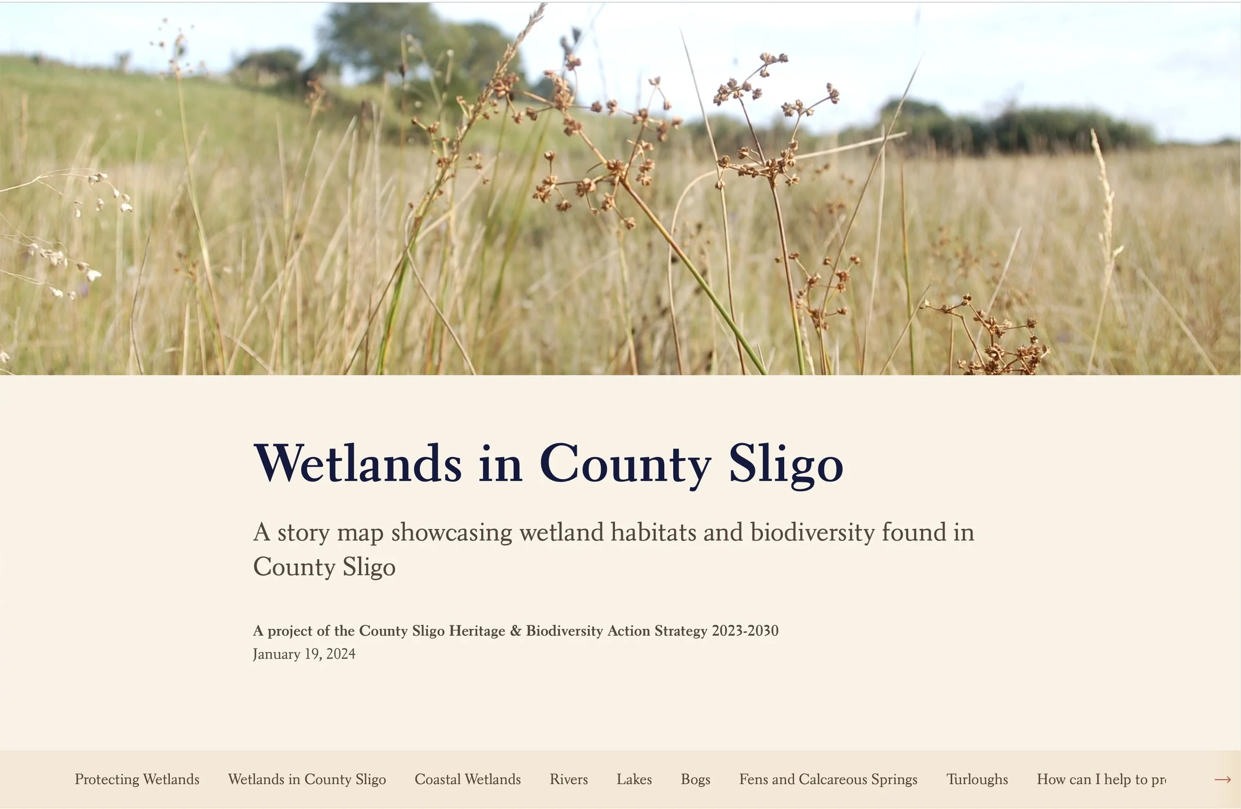
This storymap brings together images and multimedia content to tell location based stories accessible from any internet enabled device including tablets and phones. The storymap features a range of information on the wetlands found in County Sligo, their importance to our wildlife and the environmental and health benefits they provide us with for free. The storymap includes a section on wetlands to visit in County Sligo. It also lists a series of measures that we can all take to help protect wetland habitats. https://bit.ly/SligoWetlands
-
![]()
Wexford's Wetland Wealth
Wexford’s Wetland Wealth - A story map introducing the rich variety of wetlands that occur in Wexford and why we should value these wild places. The story map features a range of information about the coastal and freshwater wetlands found in Wexford, their importance to our wildlife and the ecosystem services they provide us with. The story map includes a section on wetlands to visit in Wexford. It also lists a series of measures that we can all take to help protect wetland habitats. Link to map: https://arcg.is/a9nbu0
-
![]()
Kildare's Wetland Heritage
Kildare’s Wetland Heritage - this story map introducing the rich variety of wetlands that occur in Kildare and why we should value these wild places. The online story map features lots of information on the wetlands found in County Kildare, their importance to our wildlife and our own health and includes a section on wetlands to visit in the county. It also lists a series of measures that we can all take to help protect wetland habitats. Link to map: https://arcg.is/0efnb9
-
![]()
Wetlands of NE Galway
Wetlands of North East Galway - a story map introducing the main wetland habitats that occur in North East Galway and why we should value was launched by Galway County Council as part of World Wetlands Day 2022 events. The story map features a range of information about the wetlands found in NE County Galway, their importance to our wildlife and the ecosystem services they provide us with. The story map includes a section on wetlands to visit in NE County Galway. It also lists a series of measures that we can all take to help protect wetland habitats. Link to map: www.bit.ly/NEGalwayWetlands
-
![]()
Wetlands in County Tipperary
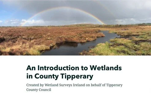
To celebrate wetlands in County Tipperary, Wetland Surveys have published a online story map entitled: An Introduction to Wetlands in County Tipperary. The story map was produced by Mary Catherine Gallagher and Peter Foss and was funded by the Tipperary Heritage Office through the National Biodiversity Action Plan fund. The online story map features lots of information on the wetlands found in County Tipperary, their importance to our wildlife and our own health and includes a section on wetlands to visit in County Tipperary. Link to map: bit.ly/TipperaryWetlands
-
![]()
Reenagross Woodland Park Tour
This story map brings you on an informative tour of the park where you can learn more about the fascinating estuarine and woodland habitats and wildlife that you can see there. The park is a wooded peninsula set within the beautiful landscape of Kenmare Bay, Co. Kerry. The Reenagross Woodland Park has over 3km of walking trails, along with a diverse range of habitats that are home to a wide variety of plants and animals and places of interest. The park is actively managed by Kenmare Tidy Towns as a place where people can enjoy nature, take a walk, and learn about the rich wildlife of the area. You will learn more about these topics during this tour. Kenmare Tidy Towns wish to thanks The Heritage Council for funding to develop this story map. Link to map: http://arcg.is/2mOk9ZL
-
![]()
Wetlands in County Mayo
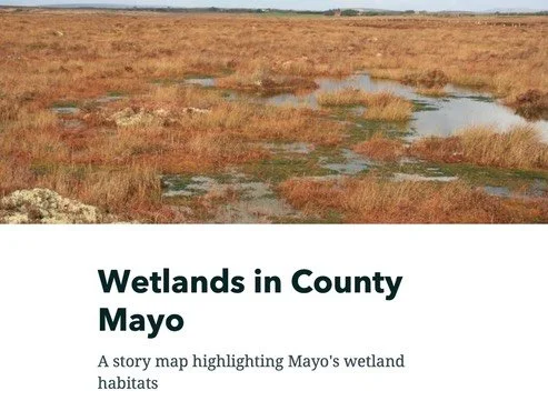
Wetlands in County Mayo story map showcases the wetland habitats of Mayo. The story map was produced by Mary Catherine Gallagher, Patrick Crushell and Peter Foss and was funded by the Mayo Heritage Office. The story map features a range of information about the wetlands found in County Mayo, their importance to our wildlife and the ecosystem services they provide us with and threats they face. The story map includes a section on wetlands to visit in County Mayo. Link to map: bit.ly/MayoWetlands
-
![]()
Ireland’s Fabulous Fens
Fens are magical places and an essential and unique part of the Irish landscape. They help regulate and clean our water supply, support a rich variety of wild plants and animals, have a significant economic value, and can even tell us about our past history. The story map brings you on an informative tour focusing on the various fen types that occur in Ireland, their ecology and the importance of their water supply, the environmental services they provide us with, the plants and animals that live in fens, and how well we have done in protecting and conserving these habitats at a national level. Link to map: http://bit.ly/IrishFens
-
![]()
Bohernabreena Reservoir & Glenasmole Valley
A popular place to visit in the Dublin area is the Glenasmole valley, and more particularly the Bohernabreena Reservoir in south county Dublin, just 5 km from Tallaght village. The reservoirs and public amenity areas in the valley are managed by South Dublin County Council. I have been visiting the place since the 1970’s and decided it was time to let some others in on some of the secrets of this hidden gem at the foothills of the Dublin mountains. So to celebrate this special area of conservation I have created a short interactive online story map about the glen and its history, the habitats and wildlife that occur there, and other information that people might find interesting. Link to map: http://arcg.is/2oxurSK.
-
![]()
Why Pearl Mussels needour help
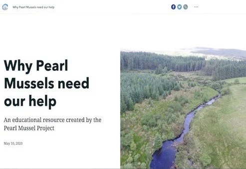
This story map was created by the Pearl Mussel Project to compliment an education resource pack for use by school children.
The pack includes an introductory on-line story map, where students can learn more about the freshwater pearl mussel, where they occur, their biology, habitat requirements and how they help our rivers and the people living along them. This story map also explains why pearl mussels are endangered and what the Pearl Mussel Project are doing to help them.
The story map is complimented by a resource pack containing a series of activity sheets which teachers or students.
-
![]()
An fáth a bhfuil cabhair ag teastáil ó na Diúilicíní Péarla
This Irish language story map was created by the Pearl Mussel Project to compliment an education resource pack for use by school children.
The pack includes an introductory on-line story map, where students can learn more about the freshwater pearl mussel, where they occur, their biology, habitat requirements and how they help our rivers and the people living along them.
-
![]()
Why is Biodiversity Important
This story map was created by the Pearl Mussel Project to compliment an education resource pack for use by primary school children.
This story map explains what we mean by biodiversity, why it is important, how we all benefit from a rich biodiversity and how Pearl Mussels help maintain a healthy biodiversity in our rivers.
-
![]()
The Pearl Mussel Project
This story map was created by the Pearl Mussel Project to compliment an education resource pack for use by school children.
This story map explains the aims and operation of the Pearl Mussel Project a programme for farmers, in eight special project areas in the north, west, and south of Ireland, where some of the best populations of Freshwater Pearl Mussels can be found, to help to protect the endangered Freshwater Pearl Mussel.
-
![]()
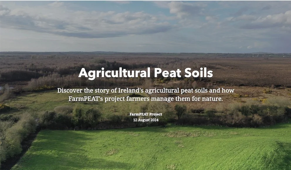
Agricultural Peat Soils
This story map was created by the FarmPEAT Project to compliment an education resource pack for use by school children.
This story map allows students to discover the story of Ireland's agricultural peat soils and how FarmPEAT's project farmers manage them for nature.
This story map can be used as a resource for agricultural and environmental science students at the Leaving Certificate or Higher Education Level.
-
![]()
Discover Ramsar Wetlands
The story map brings you on an informative tour of 45 designated Ramsar sites in the Republic of Ireland. The Ramsar Convention entered into force in Ireland on 15 March 1985. Since then Ireland has designated 45 sites as Wetlands of International Importance (Ramsar Sites), with a surface area of 66,994 hectares. This intergovernmental treaty embodies the commitments of its member countries to maintain the ecological character of their Wetlands of International Importance and to plan for the “wise use”, or sustainable use, of all of the wetlands in their territories. This information tour of the designated Ramsar sites around Ireland includes map location information, a brief summary of species and habitats of interest that resulted in the Ramsar designation, and information on whether sites are open to visitors. Link to map: http://arcg.is/2tPjHAB
-
![]()
The Rasied Bogs of Ireland
The story map brings you on an informative tour of 53 raised bog Special Areas of Conservation (SAC) and the 75 raised bog Natural Heritage Areas (NHA) where you can learn more about these fascinating peatland habitats. The story map includes and introduction to the SAC and NHA raised bog network, map location information for these raised bogs; the designated site boundary; a brief summary of the habitats and species of interest on the site; restoration work which has been undertaken on the sites under EU LIFE projects; and NPWS site code. The raised bogs which are open to the public and include information signs and a boardwalk are also highlighted. Link to map: http://bit.ly/raisedbogs


