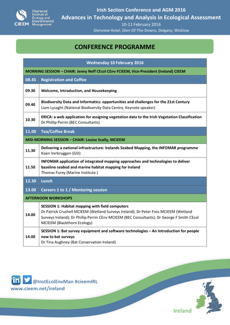
Habitat Mapping Workshop with Wetland Surveys Ireland
Since 2011 Wetland Surveys Ireland has developed and used a range of software packages designed to operate on the Apple iPad for ecological survey work. These have included a range of county wetland and species surveys and habitat mapping projects, as well as general field surveys. This workshop aims to; demonstrate the hardware and software applications used to undertake this ecological survey and mapping work, illustrate the advantages and limitations of the systems developed, highlight factors that need to be considered, and outline the hardware and software application requirements.

