
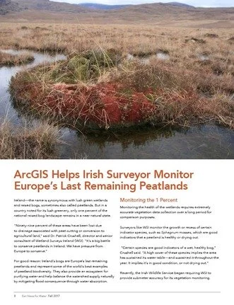
ArcGIS Helps Irish Surveyor Monitor Europe’s Last Remaining Peatlands
Wetland Surveys Ireland work was featured in the ESRI News for Water newsletter in the autumn 2017 issue, with an article on high accuracy (sub-metre) recording of spatial data on Irish raised bogs.
You can read the full article here: http://www.esri.com/library/newsletters/water/fall-2017.pdf