Factfile 4: Peatlands and Bogs
Raised Bog
Priority habitat (7110) and Annex 1 habitat (7120 & 7150) under the EU Habitats Directive.
Raised bogs are accumulations of deep acid peat (3-12 m) that originated in shallow lake basins or topographic depressions at the end of the last glaciation 10,000 years ago. The name is derived from the elevated surface, or dome, that develops as raised bogs grow upwards from the surface accumulating organic material; the domed effect is often exaggerated when the margins of a bog are damaged by turf cutting or drainage, and are drying out.
The surface of a relatively intact raised bog is typically wet, acid and deficient in plant nutrients (as bogs receive most of nutrients through rainfall), and supports specialised plant communities that are low in overall diversity. The vegetation is open and colourful Sphagnum mosses dominate the ground layer. Raised bogs are most abundant in the lowlands of central and mid-west Ireland.
Intact actively growing raised bog is extremely rare, having decreased in area by over 35% in the last 10 years. Ongoing deterioration of the hydrological conditions of raised bogs at current rates caused by peat cutting, drainage, forestry and burning severely threatens the viability of the habitat at most locations in Ireland.
Upland Blanket Bog
Priority habitat (7130) under the EU Habitats Directive, provided that active peat accumulation is occurring within a site.
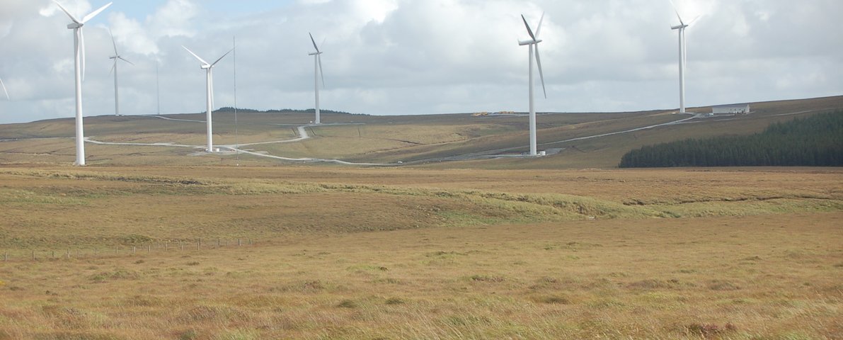
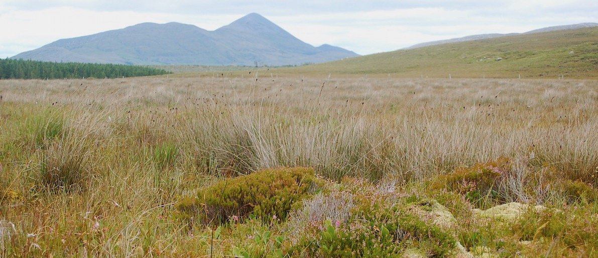
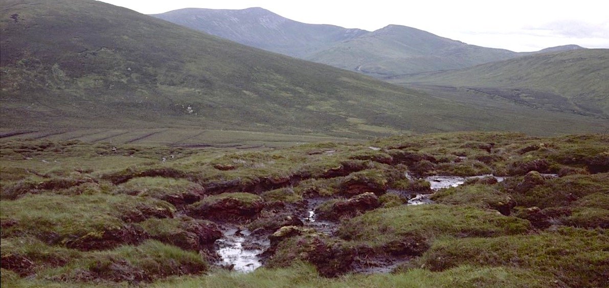
Upland blanket bog occurs on flat or gently sloping ground above 150 m and is widespread on hills and mountains throughout Ireland. The 150 m limit serves to distinguish upland from lowland blanket bog but is loosely applied. Peat depths vary and normally fall in the range of 1-2 m, but can be much deeper in pockets. Upland blanket bog can be extremely wet where it occurs on level terrain and may have surface drainage features that are typical of lowland blanket bog.
Blanket bog areas support a number of EU species including Irish Hare, Red Grouse, Curlew, Golden Plover and Hen Harrier.
Current pressures and threats include overstocking by grazing animals (especially sheep), peat erosion, drainage, burning and infrastructural developments (i.e. windfarms).
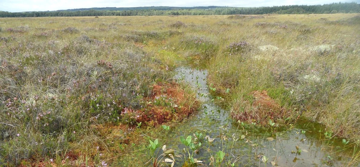
Lowland Blanket Bog
Priority habitat (7130) under the EU Habitats Directive, provided that active peat accumulation is occurring within a site. Depressions on peat substrates (found within blanket bog areas) are an Annex 1 habitat (7150) under the EU Habitats Directive.
Lowland blanket bog, also known as Atlantic or oceanic blanket bog, is more restricted in its distribution than the upland type and is largely confined to wetter regions along the western seaboard where the annual
rainfall exceeds 1250 mm. Blanket formation started 4,000 years ago as the climate became wetter. Described as a climatic peat type, it occurs on flat or gently sloping ground below 150 m. Peat depths vary considerably (1.5-7 m) depending on the underlying topography, and are usually intermediate between those of raised bog and upland blanket bog. The vegetation of lowland blanket bog is typically 'grassy' in appearance. This habitat includes important breeding grounds for a number of EU Bird Directive species including Merlin, Golden Plover, Hen Harrier and Red Grouse.
Blanket bogs depend to a large degree on maintenance of surface water flow patterns at a landscape scale and hence are dependent on sensitive land management practices. Extensive areas have been destroyed or highly modified (chiefly through reclamation, peat extraction, conifer afforestation but also via erosion and even landslides triggered by human activity). Current pressures include overstocking with grazing animals, peat extraction, drainage, burning and infrastructural developments, and in the past unsuitable afforestation projects.
Cutover Bog
Depressions on peat substrates (found within cutover bog areas) are an Annex 1 habitat (7150) under the EU Habitats Directive.
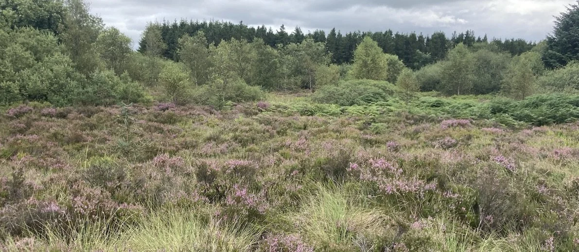
Cutover bog is a variable habitat, or complex of habitats, that can include mosaics of bare peat and re-vegetated areas with woodland, scrub, heath, fen and flush or grassland communities. It occurs where part or all of the original peat has been removed through turf cutting, by the traditional hand method or mechanically, for either domestic or commercial purposes.
The nature of the recolonising vegetation depends on numerous factors including the frequency and extent of disturbance, hydrology, the depth of peat remaining, and the nature and soil chemistry of the peat and the underlying rock or soil. Standing water is usually present in drains, pools or excavated hollows. Some large areas of cutover bog have been reclaimed as farmland or planted with trees, particularly conifers.
The full extent of the cutover may be difficult to establish as it frequently grades into other marginal habitats or farmland.
Eroding Bog
This habitat occurs on blanket bogs (upland and lowland) where part of the original peat mass has been lost through erosion, and where sizeable areas of bare peat are exposed. Eroding blanket bog is most commonly associated with upland areas, and mountain peaks and ridges in particular. The causes of erosion are numerous; some erosion may have occurred as a natural process but, over the last two decades, overgrazing by livestock (particularly sheep) has been a major contributory factor.
Eroding blanket bog is often characterised by networks of channels and gullies that have cut down through the protective layer of vegetation to expose the underlying peat. As erosion continues, these channels widen, deepen and coalesce until eventually the rocky substratum is reached. Some small blocks of the original bog, known as peat haggs, may remain.
To be categorised as eroding blanket bog, a substantial proportion of the original bog surface should be missing and peat should have eroded below the rooting zone of the surface vegetation. In such situations, the process is likely to be irreversible, or recovery very slow, even if damaging activities cease. Eroding blanket bog also occurs on peatlands damaged by bog bursts when sizeable areas of bare peat are exposed.
For further information on these and other Irish wetland habitats, including the species that occur on them etc. the reader is directed to Fossitt, J. (2000) A Guide to Habitats in Ireland published by The Heritage Council, Ireland (You can download the Heritage Councils habitat key here).
You might also like to check out Leitrim County Council & Wetland Surveys video entitled “Wetlands in Leitrim”.
In the video Patrick introduces us to some wetlands in Leitrim and explains their importance for our heritage, biodiversity, and the ecosystem services they provide, such as carbon storage and flood control.
Watch the youtube video at: https://youtu.be/59KXtp6VR7c
You can also learn more about wetlands in one of Wetland Surveys story maps.

